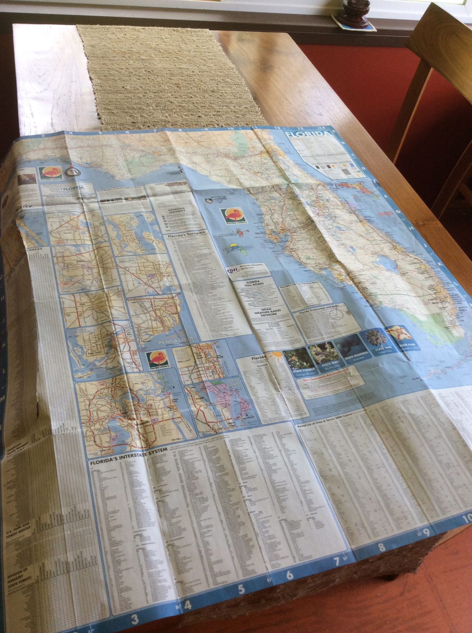
 I tend to keep maps handy while writing Sydney’s adventures. There are two ill-folded road maps on my desk (no idea why two, but they’ve both taken up roots) and I have multiple maps (regional, state, and municipality) in the Research section of my Scrivener files. I don’t mind taking artistic license with geography in my fiction, so long as I know I’m doing it. I’ve written here before about the challenges of tweaking real-world geography (Not That Stockbridge, Writing Stories in a Version of the Real World). In fact, in the Magpie Moments post A Place by Any Other Name, I lamented my failure to create a map of Sydney’s world.
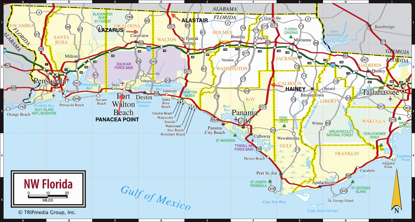
Shortly after that post, I did finally do a mini-map, proving that if I say/type something enough times in an ‘ohia forest, eventually I will hear myself. I added four of my fictional towns (Hainey, Alastair, Lazarus, and Panacea Point) to a digital map of the Florida Panhandle now tucked away in my Scrivener Research. It’s a basic road map because I actually do consider routes, driving times, accessibility, etc., and once I have the general idea I can always dig in with a more detailed map if necessary. So there you have it. If at some point in the future, I radically alter the geography of Sydney’s world, I will deny all knowledge of this map and it will self-destruct. You’ve been warned.